
Oude Zederik topographic map
Interactive map
Click on the map to display elevation.
About this map
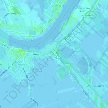
Name: Oude Zederik topographic map, elevation, terrain.
Average elevation: 3 ft
Minimum elevation: -10 ft
Maximum elevation: 23 ft
Other topographic maps
Click on a map to view its topography, its elevation and its terrain.
Diefdijk
Nederland > Utrecht > Vijfheerenlanden
Diefdijk, Leerdam, Vijfheerenlanden, Utrecht, Nederland, 4151MN, Nederland
Average elevation: 3 ft