
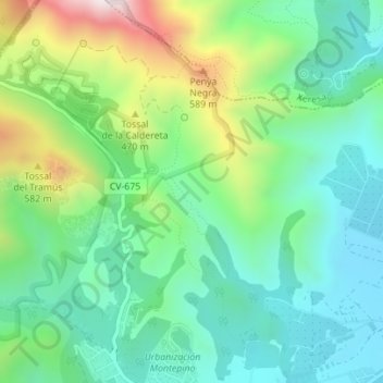
Barranc de Les Voltes topographic map
Interactive map
Click on the map to display elevation.
About this map
Name: Barranc de Les Voltes topographic map, elevation, terrain.
Average elevation: 919 ft
Minimum elevation: 249 ft
Maximum elevation: 2,490 ft
Other topographic maps
Click on a map to view its topography, its elevation and its terrain.
el Racó dels Frares
España > Comunidad Valenciana > Gandía > el Racó dels Frares
el Racó dels Frares, Gandía, Safor, Valencia, Comunidad Valenciana, 46728, España
Average elevation: 413 ft