
Sirathu topographic map
Interactive map
Click on the map to display elevation.
About this map
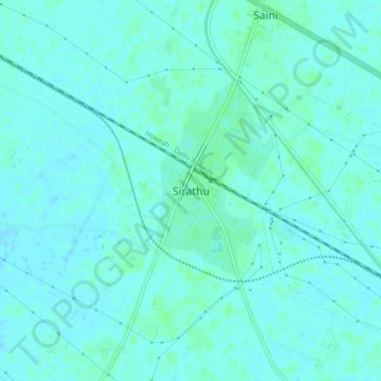
Name: Sirathu topographic map, elevation, terrain.
Location: Sirathu, Prayāgrāj, Kaushambi, Uttar Pradesh, 212204, India (25.62757 81.29755 25.66757 81.33755)
Average elevation: 348 ft
Minimum elevation: 338 ft
Maximum elevation: 358 ft