
Pla d'Adet topographic map
Interactive map
Click on the map to display elevation.
About this map
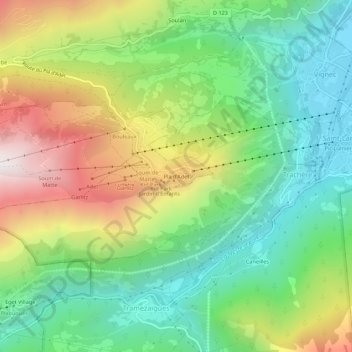
Name: Pla d'Adet topographic map, elevation, terrain.
Average elevation: 4,318 ft
Minimum elevation: 2,621 ft
Maximum elevation: 7,142 ft
Other topographic maps
Click on a map to view its topography, its elevation and its terrain.
Col de Portet
Frankrijk > Occitanië > Hautes-Pyrénées > Saint-Lary-Soulan > Soulan
Col de Portet, Soulan, Saint-Lary-Soulan, Bagnères-de-Bigorre, Hautes-Pyrénées, Occitanië, Metropolitaans Frankrijk, 65170, Frankrijk
Average elevation: 7,060 ft