
Eastpoint topographic map
Interactive map
Click on the map to display elevation.
About this map
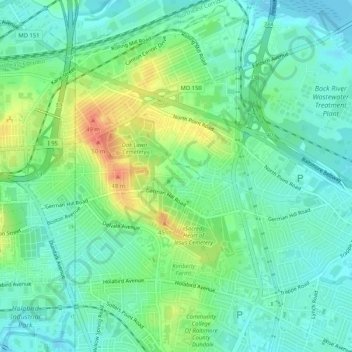
Name: Eastpoint topographic map, elevation, terrain.
Location: Eastpoint, Baltimore County, Maryland, 21222, USA (39.26455 -76.53496 39.30455 -76.49496)
Average elevation: 52 ft
Minimum elevation: -7 ft
Maximum elevation: 164 ft