
田心 topographic map
Interactive map
Click on the map to display elevation.
About this map
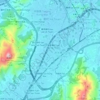
Name: 田心 topographic map, elevation, terrain.
Location: 田心, 洪水橋, 田心村, 元朗區, 新界, 香港, 中国 (22.41492 113.97140 22.45492 114.01140)
Average elevation: 161 ft
Minimum elevation: -56 ft
Maximum elevation: 1,161 ft