
Lepanto topographic map
Interactive map
Click on the map to display elevation.
About this map
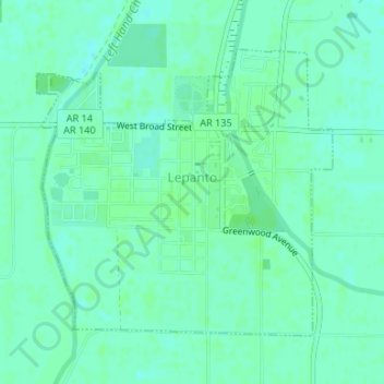
Name: Lepanto topographic map, elevation, terrain.
Average elevation: 220 ft
Minimum elevation: 207 ft
Maximum elevation: 233 ft
Other topographic maps
Click on a map to view its topography, its elevation and its terrain.
Lepanto
États-Unis d'Amérique > Arkansas > Poinsett County > Lepanto > Lepanto
Lepanto, Poinsett County, Arkansas, 72354, États-Unis d'Amérique
Average elevation: 220 ft