
Norris Mountain topographic map
Interactive map
Click on the map to display elevation.
About this map
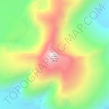
Name: Norris Mountain topographic map, elevation, terrain.
Location: Norris Mountain, Juneau, Alaska, USA (58.44652 -134.14105 58.44662 -134.14095)
Average elevation: 2,362 ft
Minimum elevation: 1,047 ft
Maximum elevation: 4,131 ft
Other topographic maps
Click on a map to view its topography, its elevation and its terrain.