
Tskhekvani topographic map
Interactive map
Click on the map to display elevation.
About this map
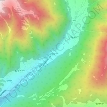
Name: Tskhekvani topographic map, elevation, terrain.
Average elevation: 5,531 ft
Minimum elevation: 4,042 ft
Maximum elevation: 7,917 ft
Other topographic maps
Click on a map to view its topography, its elevation and its terrain.
Doli
Georgia > Samegrelo-Upper Svaneti > Mestia Municipality > Becho
Doli, Becho, Mestia Municipality, Samegrelo-Upper Svaneti, Georgia
Average elevation: 5,184 ft