
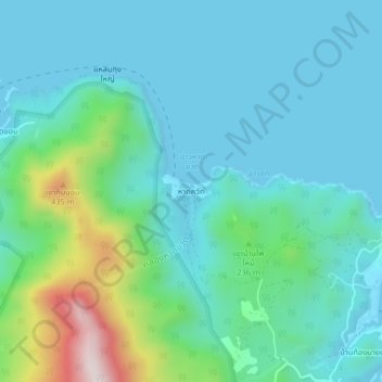
Haad Khuat topographic map
Interactive map
Click on the map to display elevation.
About this map
Name: Haad Khuat topographic map, elevation, terrain.
Location: Haad Khuat, Surat Thani Province, Thailand (9.77150 100.01598 9.81150 100.05598)
Average elevation: 381 ft
Minimum elevation: -3 ft
Maximum elevation: 1,972 ft