
Prairie City topographic map
Interactive map
Click on the map to display elevation.
About this map
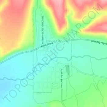
Name: Prairie City topographic map, elevation, terrain.
Location: Prairie City, Grant County, Oregon, United States (44.44835 -118.71639 44.47190 -118.69945)
Average elevation: 3,622 ft
Minimum elevation: 3,474 ft
Maximum elevation: 3,878 ft