
Fraguas (Machuca) topographic map
Interactive map
Click on the map to display elevation.
About this map
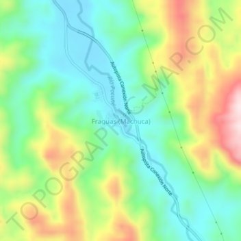
Name: Fraguas (Machuca) topographic map, elevation, terrain.
Location: Fraguas (Machuca), Segovia, Nordeste, Antioquia, Colombie (7.23449 -74.84120 7.27449 -74.80120)
Average elevation: 1,066 ft
Minimum elevation: 545 ft
Maximum elevation: 2,001 ft