
Neigem topographic map
Interactive map
Click on the map to display elevation.
About this map
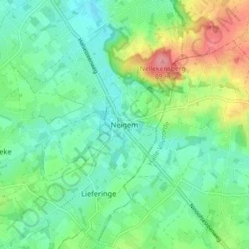
Name: Neigem topographic map, elevation, terrain.
Location: Neigem, Aalst, Oost-Vlaanderen, Vlaanderen, 9403, België (50.78292 4.03986 50.82292 4.07986)
Average elevation: 131 ft
Minimum elevation: 43 ft
Maximum elevation: 331 ft