
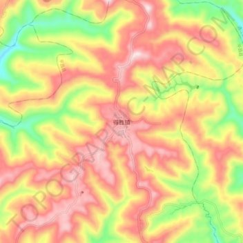
得胜镇 topographic map
Interactive map
Click on the map to display elevation.
About this map
Name: 得胜镇 topographic map, elevation, terrain.
Location: 得胜镇, 平昌县, 巴中市, 四川省, 中国 (31.76450 107.09536 31.84450 107.17536)
Average elevation: 2,024 ft
Minimum elevation: 1,155 ft
Maximum elevation: 2,703 ft
Other topographic maps
Click on a map to view its topography, its elevation and its terrain.