
Gover topographic map
Interactive map
Click on the map to display elevation.
About this map
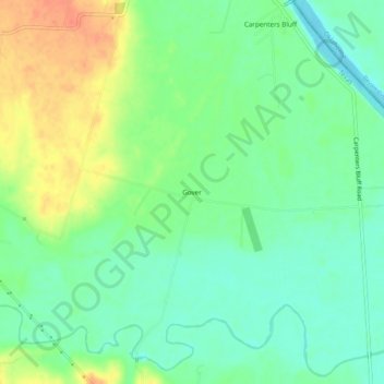
Name: Gover topographic map, elevation, terrain.
Location: Gover, Grayson County, Texas, USA (33.71594 -96.44415 33.75594 -96.40415)
Average elevation: 545 ft
Minimum elevation: 482 ft
Maximum elevation: 643 ft