
Dove Creek topographic map
Interactive map
Click on the map to display elevation.
About this map
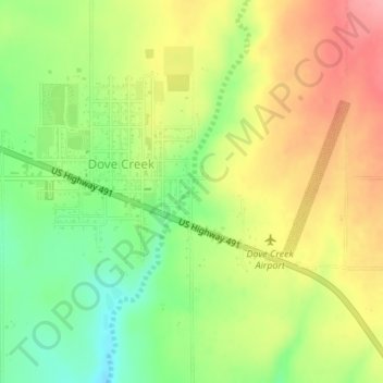
Name: Dove Creek topographic map, elevation, terrain.
Location: Dove Creek, Dolores County, Colorado, 81324, United States (37.76403 -108.89975 37.76413 -108.89965)
Average elevation: 6,893 ft
Minimum elevation: 6,729 ft
Maximum elevation: 7,060 ft