
Amine Peak topographic map
Interactive map
Click on the map to display elevation.
About this map
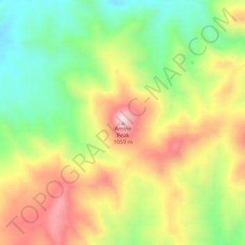
Name: Amine Peak topographic map, elevation, terrain.
Location: Amine Peak, Wheeler County, Oregon, États-Unis d'Amérique (44.79786 -120.32091 44.79796 -120.32081)
Average elevation: 2,690 ft
Minimum elevation: 2,054 ft
Maximum elevation: 3,425 ft