
The Municipal District of Carlow topographic map
Interactive map
Click on the map to display elevation.
About this map
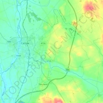
Name: The Municipal District of Carlow topographic map, elevation, terrain.
Average elevation: 233 ft
Minimum elevation: 138 ft
Maximum elevation: 505 ft
Other topographic maps
Click on a map to view its topography, its elevation and its terrain.
Oak Park
Oak Park, Carlow Rural ED, The Municipal District of Carlow, County Carlow, Leinster, Ireland
Average elevation: 194 ft