
Soda Hill topographic map
Interactive map
Click on the map to display elevation.
About this map
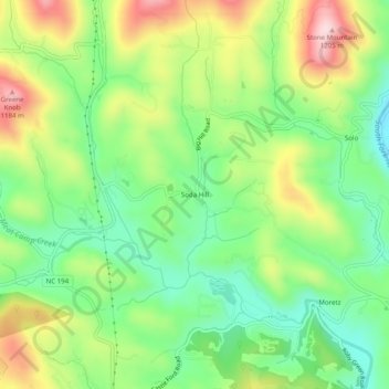
Name: Soda Hill topographic map, elevation, terrain.
Location: Soda Hill, Watauga County, North Carolina, United States (36.25624 -81.65761 36.29624 -81.61761)
Average elevation: 3,360 ft
Minimum elevation: 2,956 ft
Maximum elevation: 3,970 ft