
Naguilian River topographic map
Interactive map
Click on the map to display elevation.
About this map
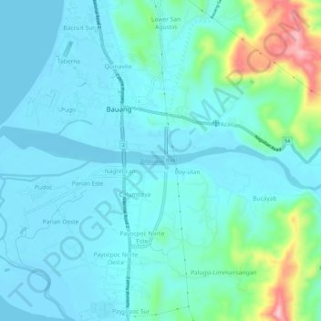
Name: Naguilian River topographic map, elevation, terrain.
Average elevation: 141 ft
Minimum elevation: -7 ft
Maximum elevation: 846 ft
Other topographic maps
Click on a map to view its topography, its elevation and its terrain.
Nagrebcan
Philippines > La Union > Nagrebcan
Nagrebcan, La Union, Ilocos Region, 2501, Philippines
Average elevation: 56 ft