
Beerzel topographic map
Interactive map
Click on the map to display elevation.
About this map
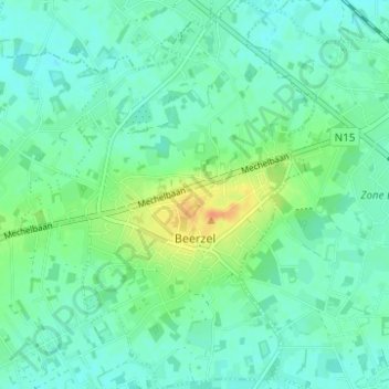
Name: Beerzel topographic map, elevation, terrain.
Location: Beerzel, Putte, Mechelen, Antwerpen, België (51.04357 4.64217 51.08248 4.68925)
Average elevation: 56 ft
Minimum elevation: 23 ft
Maximum elevation: 138 ft
Other topographic maps
Click on a map to view its topography, its elevation and its terrain.