
Huntington topographic map
Interactive map
Click on the map to display elevation.
About this map
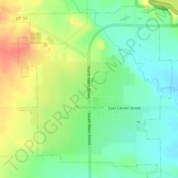
Name: Huntington topographic map, elevation, terrain.
Location: Huntington, Emery County, Utah, 84528, United States (39.31564 -110.97881 39.34319 -110.94582)
Average elevation: 5,797 ft
Minimum elevation: 5,722 ft
Maximum elevation: 5,906 ft