
Hawley topographic map
Interactive map
Click on the map to display elevation.
About this map
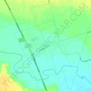
Name: Hawley topographic map, elevation, terrain.
Location: Hawley, Jones County, Texas, 79525, United States (32.59337 -99.83304 32.63337 -99.79304)
Average elevation: 1,654 ft
Minimum elevation: 1,621 ft
Maximum elevation: 1,706 ft