
Gunung Lanno topographic map
Interactive map
Click on the map to display elevation.
About this map
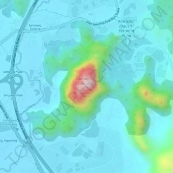
Name: Gunung Lanno topographic map, elevation, terrain.
Location: Gunung Lanno, Kg. Kepayang, Kinta, Perak, 31300, Malaysia (4.52497 101.14688 4.52507 101.14698)
Average elevation: 292 ft
Minimum elevation: 128 ft
Maximum elevation: 1,283 ft