
Marlishausen topographic map
Interactive map
Click on the map to display elevation.
About this map
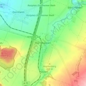
Name: Marlishausen topographic map, elevation, terrain.
Location: Marlishausen, Arnstadt, Ilm-Kreis, Thüringen, Deutschland (50.80128 10.99343 50.84197 11.04578)
Average elevation: 1,089 ft
Minimum elevation: 915 ft
Maximum elevation: 1,368 ft