
Great Zimbabwe Ruins Nationalpark topographic map
Interactive map
Click on the map to display elevation.
About this map
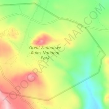
Name: Great Zimbabwe Ruins Nationalpark topographic map, elevation, terrain.
Location: Great Zimbabwe Ruins Nationalpark, Masvingo, Zimbabwe (-20.28124 30.91881 -20.25979 30.95104)
Average elevation: 3,638 ft
Minimum elevation: 3,307 ft
Maximum elevation: 3,996 ft