
Kadukanna topographic map
Interactive map
Click on the map to display elevation.
About this map
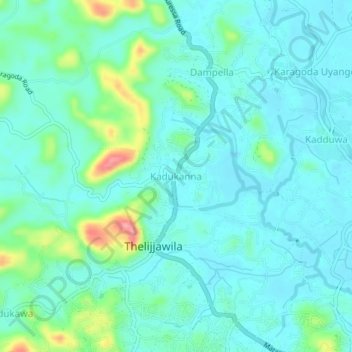
Name: Kadukanna topographic map, elevation, terrain.
Location: Kadukanna, Matara District, Southern Province, Sri Lanka (6.01245 80.47815 6.05245 80.51815)
Average elevation: 69 ft
Minimum elevation: -10 ft
Maximum elevation: 348 ft