
Pedra Furada topographic map
Interactive map
Click on the map to display elevation.
About this map
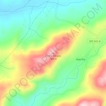
Name: Pedra Furada topographic map, elevation, terrain.
Location: Pedra Furada, Sortelha, Sabugal, Guarda, 6320-531, Portugal (40.33481 -7.23840 40.33491 -7.23830)
Average elevation: 1,900 ft
Minimum elevation: 1,562 ft
Maximum elevation: 2,402 ft