
Freineda topographic map
Interactive map
Click on the map to display elevation.
About this map
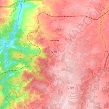
Name: Freineda topographic map, elevation, terrain.
Location: Freineda, Almeida, Guarda, Portugal (40.55081 -6.93402 40.59861 -6.83679)
Average elevation: 2,477 ft
Minimum elevation: 1,906 ft
Maximum elevation: 2,733 ft