
Salem topographic map
Interactive map
Click on the map to display elevation.
About this map
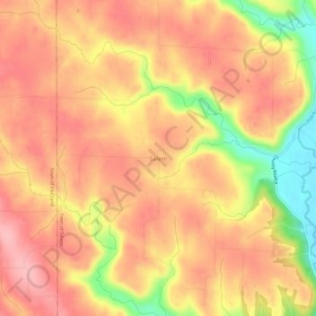
Name: Salem topographic map, elevation, terrain.
Location: Salem, Pierce County, Wisconsin, United States of America (44.60302 -92.37741 44.64302 -92.33741)
Average elevation: 984 ft
Minimum elevation: 682 ft
Maximum elevation: 1,138 ft