
Pleasant Valley topographic map
Interactive map
Click on the map to display elevation.
About this map
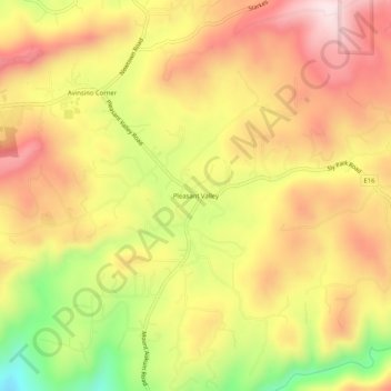
Name: Pleasant Valley topographic map, elevation, terrain.
Location: Pleasant Valley, El Dorado County, California, USA (38.66296 -120.68299 38.70296 -120.64299)
Average elevation: 2,559 ft
Minimum elevation: 1,729 ft
Maximum elevation: 3,166 ft