
Lau Pakam topographic map
Interactive map
Click on the map to display elevation.
About this map
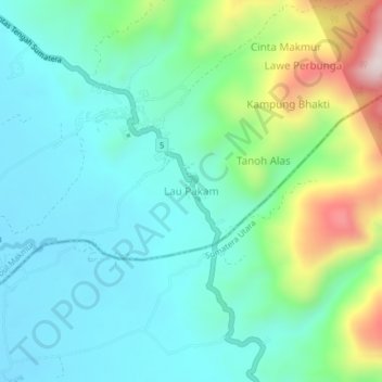
Name: Lau Pakam topographic map, elevation, terrain.
Location: Lau Pakam, Babul Makmur, Aceh, Indonesia (3.25988 97.96456 3.29988 98.00456)
Average elevation: 833 ft
Minimum elevation: 394 ft
Maximum elevation: 2,169 ft