
Jatinga topographic map
Interactive map
Click on the map to display elevation.
About this map
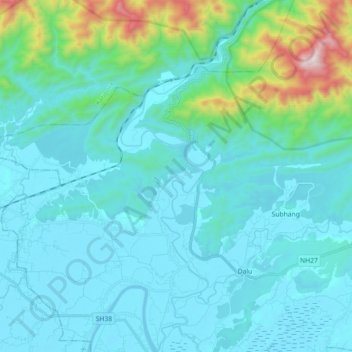
Name: Jatinga topographic map, elevation, terrain.
Location: Jatinga, Silchar, Cachar, Assam, 788014, India (24.88543 92.71824 25.04810 92.79265)
Average elevation: 512 ft
Minimum elevation: 39 ft
Maximum elevation: 3,533 ft