
Ban Khlong Luk topographic map
Interactive map
Click on the map to display elevation.
About this map
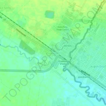
Name: Ban Khlong Luk topographic map, elevation, terrain.
Location: Ban Khlong Luk, Fak Huai, Sa Kaeo Province, 27121, Thailand (13.64495 102.52402 13.68495 102.56402)
Average elevation: 144 ft
Minimum elevation: 121 ft
Maximum elevation: 167 ft
Other topographic maps
Click on a map to view its topography, its elevation and its terrain.
Aranyaprathet
Thailand > Sa Kaeo Province > Aranyaprathet
Aranyaprathet, Sa Kaeo Province, Thailand
Average elevation: 164 ft