
Hera topographic map
Interactive map
Click on the map to display elevation.
About this map
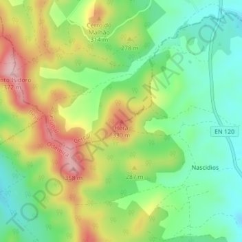
Name: Hera topographic map, elevation, terrain.
Location: Hera, Cercal, Santiago do Cacém, Setúbal, 7639-174, Portugal (37.75630 -8.67637 37.75640 -8.67627)
Average elevation: 758 ft
Minimum elevation: 476 ft
Maximum elevation: 1,175 ft