
La Garenne topographic map
Interactive map
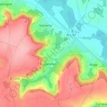
Click on the map to display elevation.
About this map
Name: La Garenne topographic map, elevation, terrain.
Average elevation: 351 ft
Minimum elevation: 144 ft
Maximum elevation: 571 ft
Other topographic maps
Click on a map to view its topography, its elevation and its terrain.
Château de Couvrelles
France > Hauts-de-France > Aisne > Couvrelles > La Garenne
Château de Couvrelles, Rue de l'Église, La Garenne, Couvrelles, Soissons, Aisne, Hauts-de-France, France métropolitaine, 02220, France
Average elevation: 371 ft