
Prazins (Santa Eufémia) topographic map
Interactive map
Click on the map to display elevation.
About this map
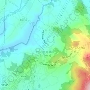
Name: Prazins (Santa Eufémia) topographic map, elevation, terrain.
Location: Prazins (Santa Eufémia), Guimarães, Braga, Ave, Nord, Portugal (41.48154 -8.33563 41.49866 -8.30807)
Average elevation: 548 ft
Minimum elevation: 354 ft
Maximum elevation: 1,165 ft