
Tidjelabine topographic map
Interactive map
Click on the map to display elevation.
About this map
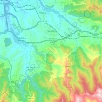
Name: Tidjelabine topographic map, elevation, terrain.
Location: Tidjelabine, Daïra Boumerdès, Boumerdès, 35021, Algérie (36.67269 3.45165 36.75765 3.54730)
Average elevation: 577 ft
Minimum elevation: 16 ft
Maximum elevation: 2,031 ft