
La Motta topographic map
Interactive map
Click on the map to display elevation.
About this map
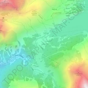
Name: La Motta topographic map, elevation, terrain.
Location: La Motta, Maloja, Bregaglia, Maloja, Grisons, 7516, Suisse (46.38371 9.68041 46.42371 9.72041)
Average elevation: 6,680 ft
Minimum elevation: 4,934 ft
Maximum elevation: 10,151 ft