
Phulra topographic map
Interactive map
Click on the map to display elevation.
About this map
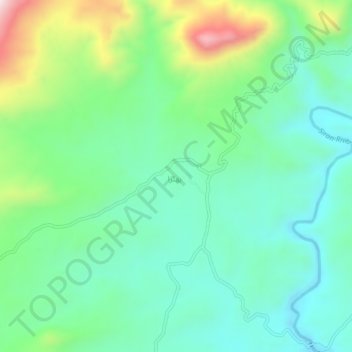
Name: Phulra topographic map, elevation, terrain.
Location: Phulra, Khyber Pakhtunkhwa, Pakistan (34.31534 73.03645 34.35534 73.07645)
Average elevation: 2,900 ft
Minimum elevation: 2,398 ft
Maximum elevation: 4,180 ft