
Navojoa topographic map
Interactive map
Click on the map to display elevation.
About this map
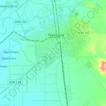
Name: Navojoa topographic map, elevation, terrain.
Location: Navojoa, Sonora, Mexico (26.99787 -109.50376 27.10780 -109.39697)
Average elevation: 144 ft
Minimum elevation: 89 ft
Maximum elevation: 463 ft