Geolocate

Monroe topographic map

Click on the map to display elevation.

About this map

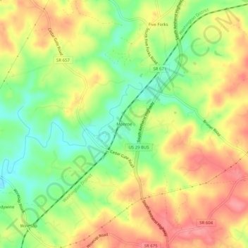
Name: Monroe topographic map, elevation, terrain.

Location: Monroe, Amherst County, Virginia, 24572, United States (37.48209 -79.14780 37.52209 -79.10780)

Average elevation: 784 ft

Minimum elevation: 636 ft

Maximum elevation: 919 ft

Amherst County trails, hiking, mountain biking, running and outdoor activities

Gear up for your next adventure:

Camping Coffee Makers - Enjoy premium coffee at the summit or campsite
☀️Outdoor Sunscreen - High protection sunscreen for outdoor activities
📷Action Cameras - Rugged cameras to document your journeys across rugged terrain
🥾Men's Hiking Boots - Durable, waterproof footwear for rugged terrain and steep inclines
🚑Emergency Bivvies - Heat-reflective sleeping bags for survival situations

As an Amazon Associate, this site earns from qualifying purchases at no extra cost to you.