
Higuera topographic map
Interactive map
Click on the map to display elevation.
About this map
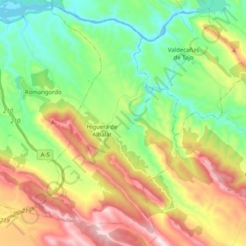
Name: Higuera topographic map, elevation, terrain.
Location: Higuera, Cáceres, Extremadura, España (39.67323 -5.69638 39.78276 -5.62295)
Average elevation: 1,585 ft
Minimum elevation: 794 ft
Maximum elevation: 2,838 ft