
Peterzell topographic map
Interactive map
Click on the map to display elevation.
About this map
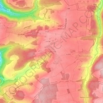
Name: Peterzell topographic map, elevation, terrain.
Average elevation: 2,093 ft
Minimum elevation: 1,608 ft
Maximum elevation: 2,260 ft
Other topographic maps
Click on a map to view its topography, its elevation and its terrain.
Reutin
Deutschland > Baden-Württemberg > Landkreis Freudenstadt > Alpirsbach > Reutin
Reutin, Alpirsbach, Landkreis Freudenstadt, Baden-Württemberg, 72275, Deutschland
Average elevation: 2,014 ft