
Kankan topographic map
Interactive map
Click on the map to display elevation.
About this map
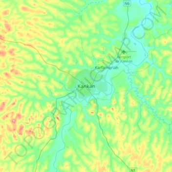
Name: Kankan topographic map, elevation, terrain.
Location: Kankan, Guinea (10.22352 -9.46694 10.54352 -9.14694)
Average elevation: 1,312 ft
Minimum elevation: 1,171 ft
Maximum elevation: 1,663 ft