
Changchun City topographic map
Interactive map
Click on the map to display elevation.
About this map
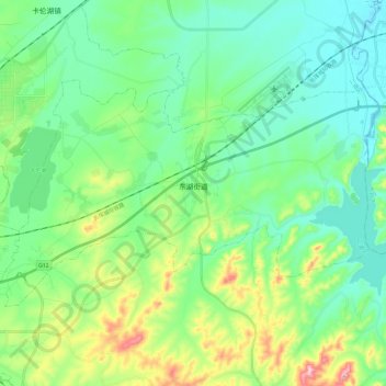
Name: Changchun City topographic map, elevation, terrain.
Location: Donghu, Erdao District, Changchun City, Jilin, 130000, PRC (43.90049 125.52012 44.00050 125.75643)
Average elevation: 751 ft
Minimum elevation: 558 ft
Maximum elevation: 1,316 ft