
Bowser topographic map
Interactive map
Click on the map to display elevation.
About this map
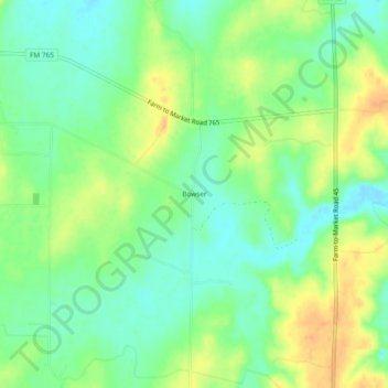
Name: Bowser topographic map, elevation, terrain.
Location: Bowser, San Saba County, Texas, USA (31.38572 -98.98227 31.42572 -98.94227)
Average elevation: 1,332 ft
Minimum elevation: 1,283 ft
Maximum elevation: 1,394 ft