
Gambrinus topographic map
Interactive map
Click on the map to display elevation.
About this map
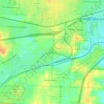
Name: Gambrinus topographic map, elevation, terrain.
Location: Gambrinus, Stark County, Ohio, 44706, USA (40.75200 -81.43873 40.79200 -81.39873)
Average elevation: 1,076 ft
Minimum elevation: 1,020 ft
Maximum elevation: 1,145 ft