
Khunti topographic map
Interactive map
Click on the map to display elevation.
About this map
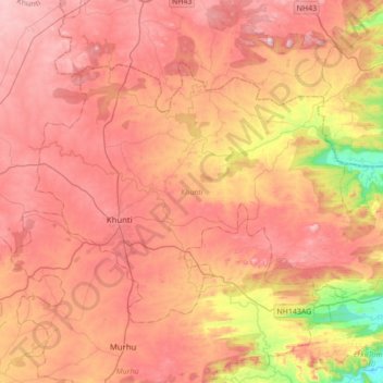
Name: Khunti topographic map, elevation, terrain.
Location: Khunti, Jharkhand, 835210, India (22.99166 85.20352 23.20861 85.54916)
Average elevation: 1,844 ft
Minimum elevation: 856 ft
Maximum elevation: 2,480 ft