
Oberndorf topographic map
Interactive map
Click on the map to display elevation.
About this map
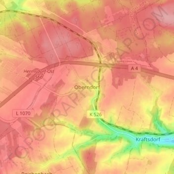
Name: Oberndorf topographic map, elevation, terrain.
Location: Oberndorf, Kraftsdorf, Greiz, Thüringen, 07586, Deutschland (50.86796 11.87581 50.90796 11.91581)
Average elevation: 1,106 ft
Minimum elevation: 846 ft
Maximum elevation: 1,204 ft